9 Church Field Road, Sudbury, Suffolk, CO10 2YA

The health of the UK’s rivers and effective flood prevention strategies are vital for environmental sustainability, public safety, and economic stability. With increasing climate challenges, it’s more important than ever to monitor and protect the nation’s water systems.


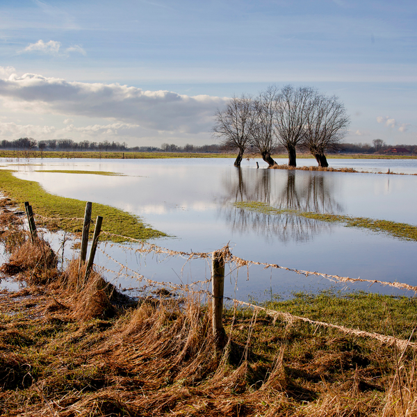)
The UK government has committed £2.6 billion to flood defences by 2026 – a necessary investment as extreme weather events become more frequent due to climate change. However, physical barriers alone are not enough; real-time water monitoring plays a critical role in flood prevention and mitigation.
By continuously tracking water levels, flow rates, and precipitation trends, councils and emergency services can implement proactive flood response strategies, rather than reacting after damage occurs.
Skyview Systems is supporting this effort through the Environment Agency’s National Flood Prevention Project by providing advanced instrumentation, including highly accurate Raine rain gauges, which strengthen forecasting and early warning systems to help protect homes and communities.
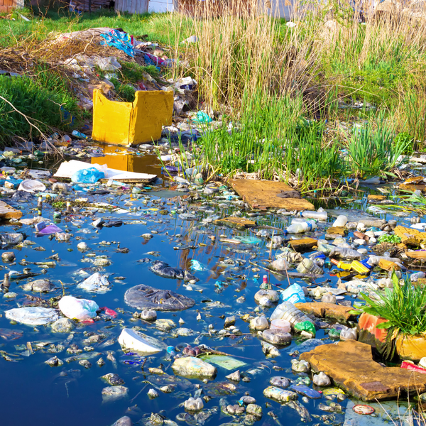)
Recent assessments have revealed that only 14% of rivers and lakes in England have achieved 'good ecological status', underscoring significant environmental challenges.
Key Factors Contributing to Poor Ecological Status:
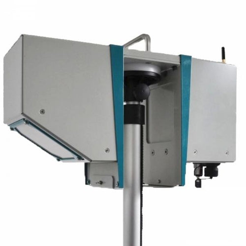
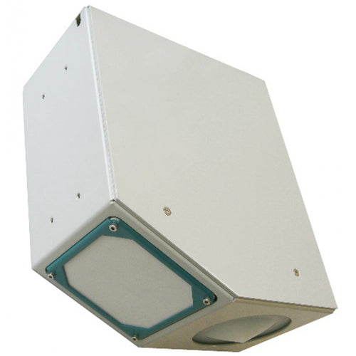
As flood risks and environmental concerns grow, real-time water monitoring is essential. Our Handheld Surface Radar (HSR-10) and RQ-30 Non-Contact Discharge Radar provide accurate, real-time data on water levels and flow, helping organisations make informed decisions for flood prevention and water resource management.
Delivering Real Impact
- Supports faster and more informed flood response for councils and emergency services
- Helps water utilities manage resources more efficiently and meet compliance standards
- Enables detailed environmental research and conservation planning
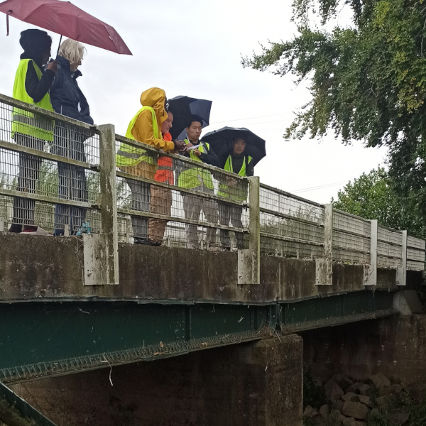)
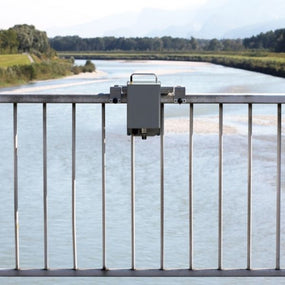
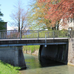
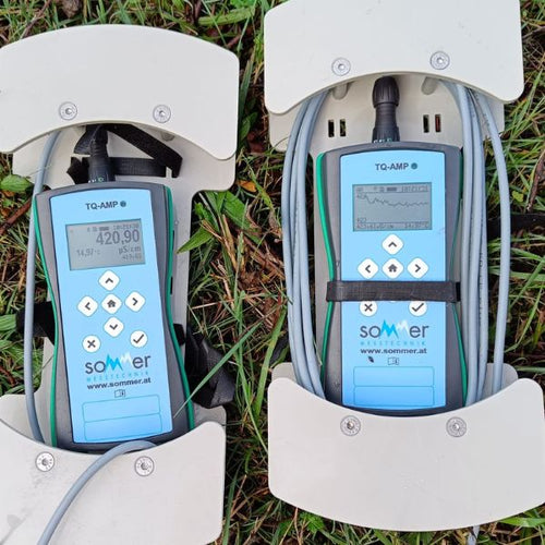
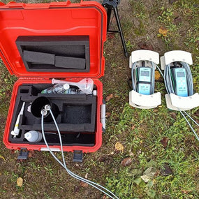
Ensure precise flood and water level monitoring with our hydrology monitoring systems. These advanced systems integrate high-accuracy flood and water level sensors to track real-time changes in water bodies, providing crucial data for flood prevention, water resource management, and environmental research. Used by government agencies, disaster response teams, and hydrologists, they help mitigate risks associated with rising water levels and extreme weather events.
They are widely used by government agencies, disaster response teams, and hydrologists to monitor rising water levels, predict flood risks, and make informed decisions for protecting communities and infrastructure.
High-accuracy flood and water level sensors constantly track changes in water bodies, delivering immediate data for flood prevention, water resource allocation, and environmental research. By detecting abnormal rises early, they provide essential alerts that enable proactive measures to minimise risk and damage.
The systems feature robust sensor designs that withstand harsh environmental conditions, along with long-term data storage capabilities for continuous analysis. This durable construction ensures precise measurements over time, supporting ongoing water conservation, disaster preparedness, and environmental monitoring efforts.