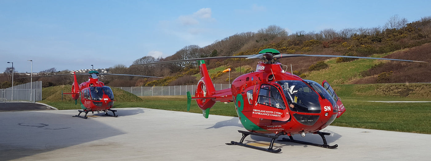
A mission close to our hearts, Skyview Systems has proudly supported Air Ambulance operations for over 30 years. We were delighted to partner with award-winning Wales Air Ambulance, the largest air ambulance operation in the UK, to provide cloud, visibility and weather monitoring systems to facilitate safe air ambulance operations and flight planning at their Dafen, Welshpool and Cardiff helicopter bases.
About Wales Air Ambulance
Launched in 2001 and funded by the people of Wales, Wales Air Ambulance is home to an impressive four helicopters - three of which are Airbus Helicopters H145, with an additional Eurocopter EC135 operating as the Children's Air Ambulance.
Boasting the UK’s only dedicated Helicopter Transfer Practitioners scheme - a partnership with NHS consultants and critical care practitioners with pioneering medical equipment, WAA can confidently deliver innovative A&E-standard care.
Wales Air Ambulance has completed in excess of 30,000 missions, an average of 2,500 missions per year. Travelling over 2 miles per minute, the team can reach anywhere in Wales within 20 minutes.
The Challenge
Effective planning of an air ambulance route is critical, especially in an emergency situation with patients’ lives hanging in the balance. With a limited supply of fuel, where and when to land are crucial considerations. With an average of approximately two hours flying time, and a practical range of 200 nautical miles one way in good weather, there is little room for error.
Rigorous health and safety CAA legislation including CAP 746 stipulates that “accurate, timely and complete aerodrome meteorological observations are necessary to support safe and efficient air navigation”. Emergency teams therefore need to have complete confidence that the systems they rely on minute-by-minute are failsafe.
Skyview’s weather monitoring systems and supporting data ensure that any changes in weather can be accurately monitored in real-time to allow air ambulance crews to reach their patients in the quickest, safest way possible to administer life-saving care.
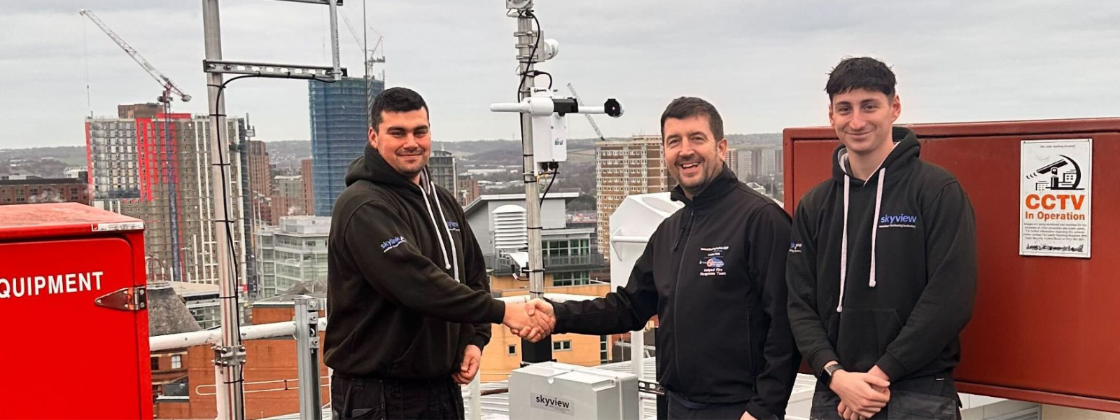
Our Solution
After consulting with the Wales Air Ambulance team, our experienced technical team commissioned a weather monitoring system to measure wind speed, direction, temperature, humidity, barometric pressure and rainfall to facilitate safe operations and flight planning.
Sophisticated laser ceilometers with a measuring range of 25,000ft allow for measuring of cloud height and thickness for up to 3 cloud layers, whilst visibility sensors with a range of 10m to 20km giving accurate information. Data is fed back to Skyview’s own SkyMet-i software, allowing current and historic data to be viewed immediately. Weather web cameras were also installed at each site, enabling pilots to visually assess sky conditions remotely.
Data is disseminated to Skyview’s unrivalled weather monitoring portal, Skylink-pro.com. Our feature rich real-time weather web service has the facility to receive and query live cloud, visibility and weather data remotely or via SMS and includes national met data, satellite images, METARs, TAFs and charts.
Selected partner site weather data can also be viewed and analysed - an invaluable tool when coordinating rescue missions.
Coupled with our yearly service and maintenance agreement to ensure that equipment is always accurate and in working order, emergency service crews can carry out their life-saving missions reassured that they are in safe hands.